
Turning Data into Actionable Insights with Digital Solutions
Collecting data is only half the equation. This article looks at how digital data collection, analytics, and geospatial intelligence turn raw information into decisions organizations can actually act on.
On This Page
Need to turn your data into decisions?
Talk to our data & digital teamThe Shift from Paper to Digital
Organizations today collect vast amounts of data every single day, from household survey responses and programme monitoring reports to service delivery records and beneficiary feedback. Yet collecting data is only half the equation. The real challenge, and the real opportunity, lies in turning that data into useful information that can genuinely support better decisions. This is the space where digital solutions, data analytics, and geospatial technologies have become indispensable tools for modern research and development work.
For decades, much of the data collected in development and research settings relied on paper-based processes: printed questionnaires, handwritten forms, and manual data entry conducted long after fieldwork had ended. This approach, while familiar, carries significant risks. Paper forms can be lost, damaged, or illegible. Manual data entry introduces the possibility of transcription errors. And the delay between data collection and data availability means that by the time information reaches decision-makers, it may no longer reflect current conditions on the ground.
Digital data collection systems address these challenges directly. Using tablets, smartphones, or other mobile devices, field teams can capture information directly in digital form, complete with built-in validation checks that flag inconsistent or implausible responses at the point of entry. Skip logic can guide enumerators through complex questionnaires automatically, reducing the burden on both interviewers and respondents. GPS coordinates, photographs, and timestamps can be captured alongside survey responses, adding valuable context and enabling stronger quality assurance. Because data is transmitted electronically, often in real time or near real time, programme managers no longer need to wait weeks or months for information to be manually processed before they can act on it.
Security and data protection are essential considerations throughout this process. Digital systems must be designed with appropriate safeguards, including secure data transmission, controlled access permissions, and careful handling of any personally identifiable information, particularly in contexts involving vulnerable populations. A well-designed digital data collection system balances efficiency and accessibility with a rigorous commitment to protecting the privacy and safety of the people whose information is being collected.
Understanding Data Through Analytics
Once data has been collected, its value depends entirely on how well it is analyzed. Raw numbers, on their own, tell only a limited story. Statistical analysis allows organizations to move beyond simple description toward genuine understanding, identifying patterns, trends, and relationships that might not be visible at first glance. Descriptive statistics can summarize the basic characteristics of a population or programme, while more advanced techniques can help identify the underlying factors that drive particular outcomes.
Predictive analysis takes this a step further, using historical data and statistical modelling to anticipate future trends or outcomes. In a development context, predictive approaches might help organizations anticipate where service demand is likely to increase, which populations are at greatest risk during a particular season, or how a proposed intervention is likely to perform based on patterns observed in similar contexts. While predictive models are never perfectly certain, they provide organizations with a valuable evidence base for planning and resource allocation, allowing teams to act proactively rather than purely reactively.
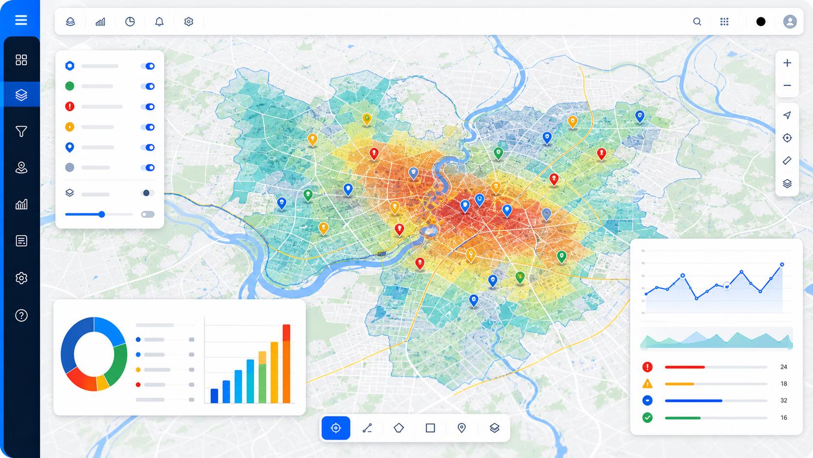
Interactive dashboards play a critical role in making this analysis accessible and actionable. Rather than requiring every programme manager or decision-maker to interpret raw statistical output, well-designed dashboards present key findings and indicators in clear, visual formats: charts, graphs, and summary tables that can be understood at a glance. Dashboards can be updated automatically as new data arrives, giving decision-makers a continuously current view of programme performance. This allows teams to monitor key indicators in real time and respond quickly to emerging issues, rather than discovering problems only after a formal report has been compiled and circulated.
The Power of Geospatial Intelligence
Geographic Information Systems, or GIS, and broader geospatial intelligence add a critical spatial dimension to data analysis that other methods cannot provide. Numbers alone can tell you that a problem exists and how large it is, but mapping that information reveals where it is concentrated, how it is distributed across a region, and how it relates to other geographic factors such as infrastructure, population density, or environmental conditions.
For organizations working across large or diverse geographic areas, this spatial perspective is invaluable. Mapping can reveal underserved areas that might otherwise be overlooked in aggregate statistics, highlight geographic disparities in service access or programme coverage, and support more efficient planning of resource distribution and logistics. Geospatial analysis can also be combined with other data sources, such as census information, climate data, or infrastructure maps, to build a richer and more complete picture of the context in which a programme operates. This kind of layered spatial analysis often reveals insights that would remain hidden in a conventional spreadsheet or table.
From Information to Action
The real value of digital solutions, data analytics, and geospatial intelligence lies not in the technology itself, but in the ability to transform complex, fragmented information into clear, actionable intelligence. Technology is a means to an end. Sophisticated dashboards and predictive models are only valuable if they genuinely inform how organizations plan, allocate resources, and respond to challenges on the ground.
This requires close collaboration between technical specialists, who understand how to design systems and analyze data, and programme staff, who understand the practical realities of implementation and the specific questions that need to be answered. When these two perspectives come together, digital solutions become far more than a technical exercise; they become a genuine driver of better decision-making.
At IRS Global, we combine secure digital data collection, rigorous statistical and predictive analysis, interactive dashboards, and geospatial intelligence to help organizations strengthen programme management, improve planning, and support evidence-based decision-making at every level. By transforming complex datasets into clear, actionable intelligence, we help our partners respond more effectively to the challenges they face and make the most of the resources available to them.
Ready to make your data work harder?
Connect with our team to design a digital data collection, analytics, or geospatial mapping solution built around your programme's needs.
Start a Conversation